How to see a city by bike starts with a single decision: ride a continuous waterfront path, work through the street grid, or let transit carry you to the start. Choose that first, then check parking and bike rules for the route.
Coastal Los Angeles rewards each of those choices differently. This guide helps you pick a starting point, then points to detailed route guides such as the venice beach boardwalk bike path overview and the venice beach itinerary by bike for a full day plan.
Start with the decision that shapes the day
A coastal ride goes wrong when the route type does not match the rider. Settle four questions before looking at a map, and most of the planning follows from the answers.
- How much traffic you will accept. Riders who want no cars at all should plan around paths. Riders comfortable on streets get far more choice, but only if the bike lanes on those streets are suitable.
- Whether you want a line or a loop. A line, such as a coastal path from one beach town to the next, means you need a way back. A loop keeps you near your bike parking and your starting point.
- Whether you are carrying a bike or renting. Bringing your own bike makes transit rules and locking matter more. Renting near the path removes the transit question and leaves parking and return times to manage.
- Who is riding with you. Children, mixed abilities and unusual bikes such as tandems change which routes and transport options are realistic.
If you want the simplest first visit, choose a path ride with a rental near the start and a clear plan for where the bike will sit while you eat or walk. If you want to see more of a neighborhood than the shoreline, build the day around the street grid and a few path sections. If you are arriving from farther away, work out the transit leg before anything else, because it can rule routes in or out.
Reading bike paths, bike lanes and network gaps
Not every line on a bike map offers the same riding. Three terms matter most for a visitor: bike path, protected bike lane and unprotected bike lane. Knowing the difference tells you which parts of a route suit a relaxed ride and which need attention.
Protected lanes versus painted lanes
According to PeopleForBikes, protected bike lanes provide physical, vertical separation between motor vehicle traffic and people riding bikes. That separation is the feature that makes them comfortable for visitors who do not ride in traffic every day. A lane marked only with paint offers no such barrier.
The same source says unprotected lanes are useful in limited circumstances, such as when travel speeds are 35 mph or less. For a visitor, that is a practical filter. A painted lane on a quiet, slow street can work well. The same paint beside fast traffic is a reason to look for another street, a parallel path or a different route.
Gaps and connections
PeopleForBikes also notes that gaps in a bike lane represent a broken network connection. On a map this looks like a lane that simply stops. In practice you meet the gap at an intersection or junction, often at the moment you are least ready for it. Before riding, trace your route from start to finish and mark any place where a lane or path ends. Decide in advance whether to walk that stretch, use a parallel street or change the route.
The source makes a related point about recreational paths. Paths that wind through a park or along a river are great for recreation, but to work for getting around they need to reach destinations such as groceries or transit stations. For a coastal visitor this means a scenic path is a fine ride in itself, yet it may not take you to a meal, a rental return or a train. Check where the path meets streets before you commit to it as your only route.
Why a street grid helps
The same PeopleForBikes guidance says streets with a grid design are better for bicycling because they provide more routes and shorter routes. For a beach neighborhood laid out on a grid, that means you can usually leave the busiest stretch and parallel it on a calmer street. Use the grid to your advantage when the shoreline is crowded.
The best way to see a beach neighborhood by bike
The best way to see a beach neighborhood by bike is to combine the waterfront path with the streets behind it, riding slowly and stopping often. The path gives you the scenery and continuity. The inland streets give you routes around crowds and access to places the shoreline does not reach.
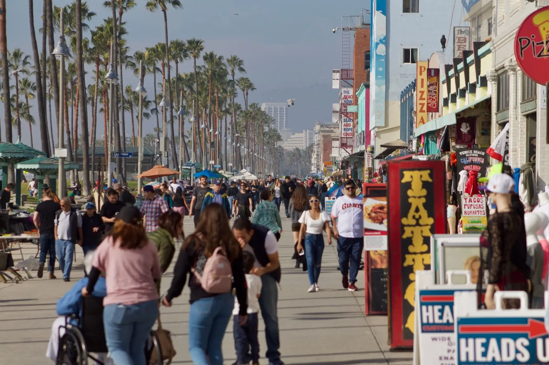
A boardwalk lined with shops and pedestrians rewards a slow pace, and it suits riders who want to look around rather than cover ground. If you want to cover ground, use a parallel street and keep the boardwalk as a destination you walk. The venice beach boardwalk bike path guide goes through how the path sits alongside the pedestrian areas.
Choosing a route shape
- Out and back on the path. This suits first-time visitors who want a simple, hard-to-lose route. The santa monica to venice beach bike ride guide covers this popular stretch in detail.
- Linear ride with a different way back. This suits riders who plan to use transit for one direction. It needs the transit rules to be settled before you start.
- Extended coastal ride. Riders who want more distance can continue along the shoreline. The venice beach to manhattan beach bike ride guide covers that direction.
- Neighborhood loop. A loop mixes path and grid streets and keeps you near parking. The best bike rides in venice beach guide compares several of these options.
Whichever you pick, treat the path as the spine of the day and the streets as your flexibility. If a stretch is crowded, step off it rather than forcing through.
Canals and waterside sightseeing
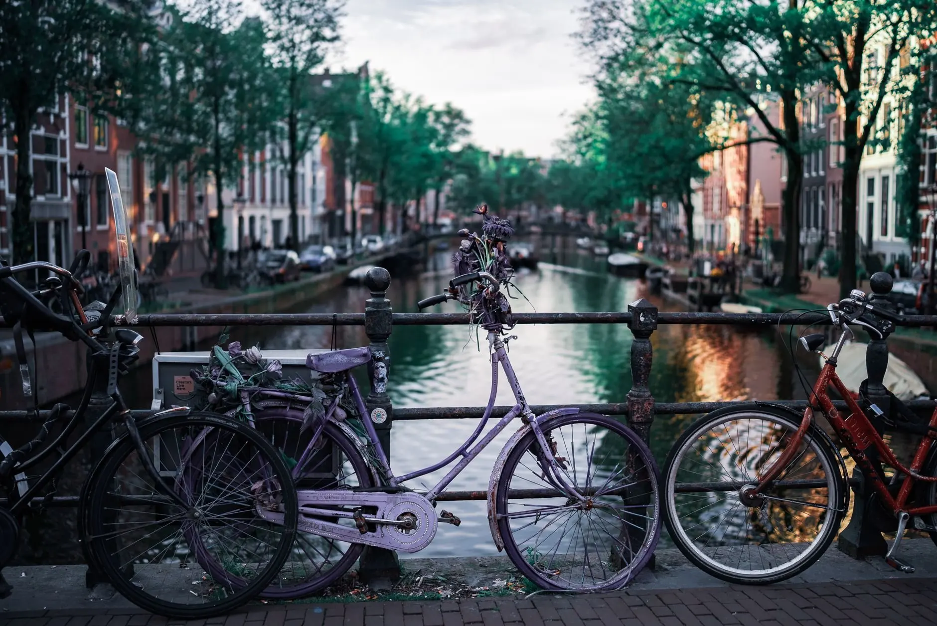
Canal-side areas are for looking, not for speed. Narrow walkways and bridges reward riders who slow down, dismount when needed and treat the bike as a way to get between viewpoints. If a walkway is shared with residents and other visitors, walking the bike is the considerate choice and often the quicker one.
The venice canals bike ride guide explains how to approach this area. Plan it as a short loop attached to a longer ride, and decide beforehand where the bike will be locked if you walk a stretch.
When a waterway ride works best
- As a short add-on. A canal loop fits between a path ride and lunch without reshaping the day.
- For slower groups. Riders with children or less confident riders can enjoy the quiet setting at walking speed.
- Not as the main distance. Walkways like these are poor for covering ground, so use the path or the grid for that.
Piers, viewpoints and scenic rides
Piers and viewpoints make natural turnaround points. A ride that ends at a pier gives the day a clear goal, a place to stop and look, and a reason to turn back. They are also where crowds gather, so arrive expecting to walk the bike for the last stretch.
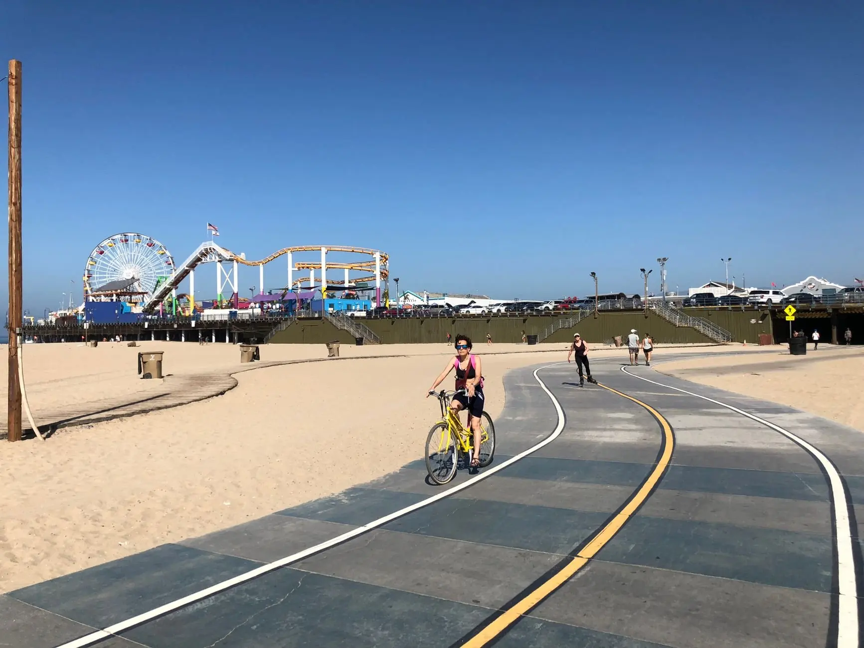
Pick scenic destinations by how well they connect to the rest of your route. A pier that sits on the main path is an easy goal. A viewpoint that requires leaving the path, climbing or crossing busy streets deserves a look at the map first, because the gaps that break a network show up most clearly near the edges of a route. The best bike rides in venice beach guide helps match viewpoints to ride types.
Making a scenic stop useful
A good stop has somewhere to leave the bike, somewhere to sit and a clear way back onto the path. Look for those three things when choosing where to pause. If the bike has to be left unattended, the parking guidance below applies. For meal stops along the route, the food near venice beach bike path guide covers where to eat and drink without leaving the path far behind.
Bike parking and locking
Parking decides whether a stop is relaxing or stressful. Visitors tend to underestimate this part of a coastal ride, because the path itself is easy and the stops are where the bike is exposed. Plan where each stop’s bike will sit before you leave the path.
Use designated parking
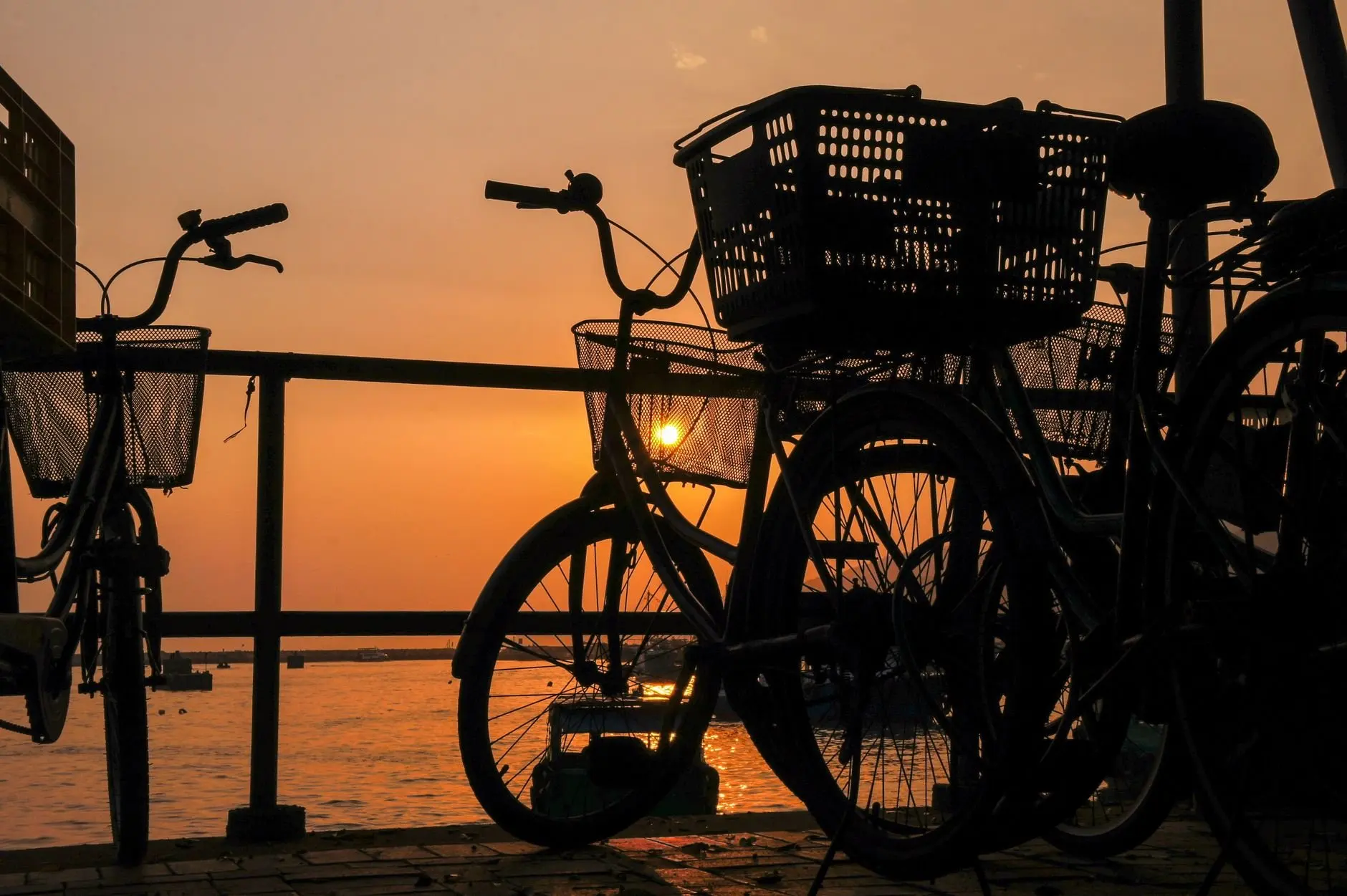
San Diego’s MTS says bicycles should only be parked in designated areas, and never locked to station fencing or handrails. Although this is a transit rule, it reflects a general principle: use racks and lockers provided for bikes rather than whatever fixture is nearest. A bike locked to a handrail can obstruct other people and may be removed.
Be realistic about security
The same MTS bike policy warns that bicycle racks offer minimal security against theft or vandalism even with expensive locks. It adds that many transit centers and trolley stations have bike lockers to securely store a bicycle. The practical reading for visitors is to prefer enclosed storage when it exists, to avoid leaving a bike for long periods at an open rack, and to keep stops short where the bike is only locked to a rack. If you plan a long meal or an extended walk, choose a place where you can keep the bike in sight.
For beach-specific advice on where racks and posts are available, see the guide on where to lock bike venice beach. If you are arriving by car and need a place to leave it before riding, the venice beach parking near bike path guide covers the options.
Combining transit and cycling
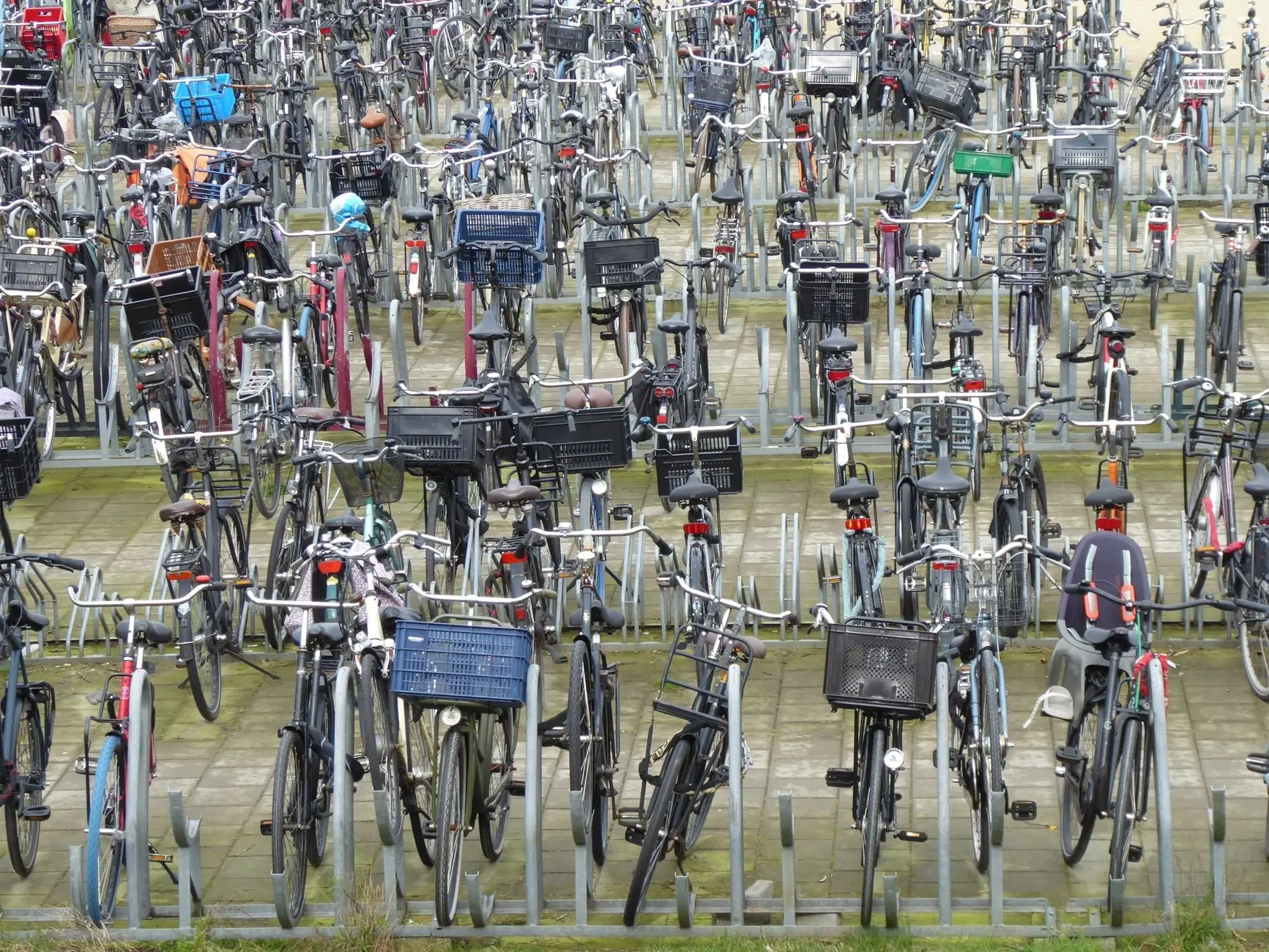
Transit extends a ride, saves you from riding back into the wind or the dark, and lets you start somewhere other than where you can park a car. The question is whether your bike will be accepted, and the answer depends on the agency, the vehicle and the time of day.
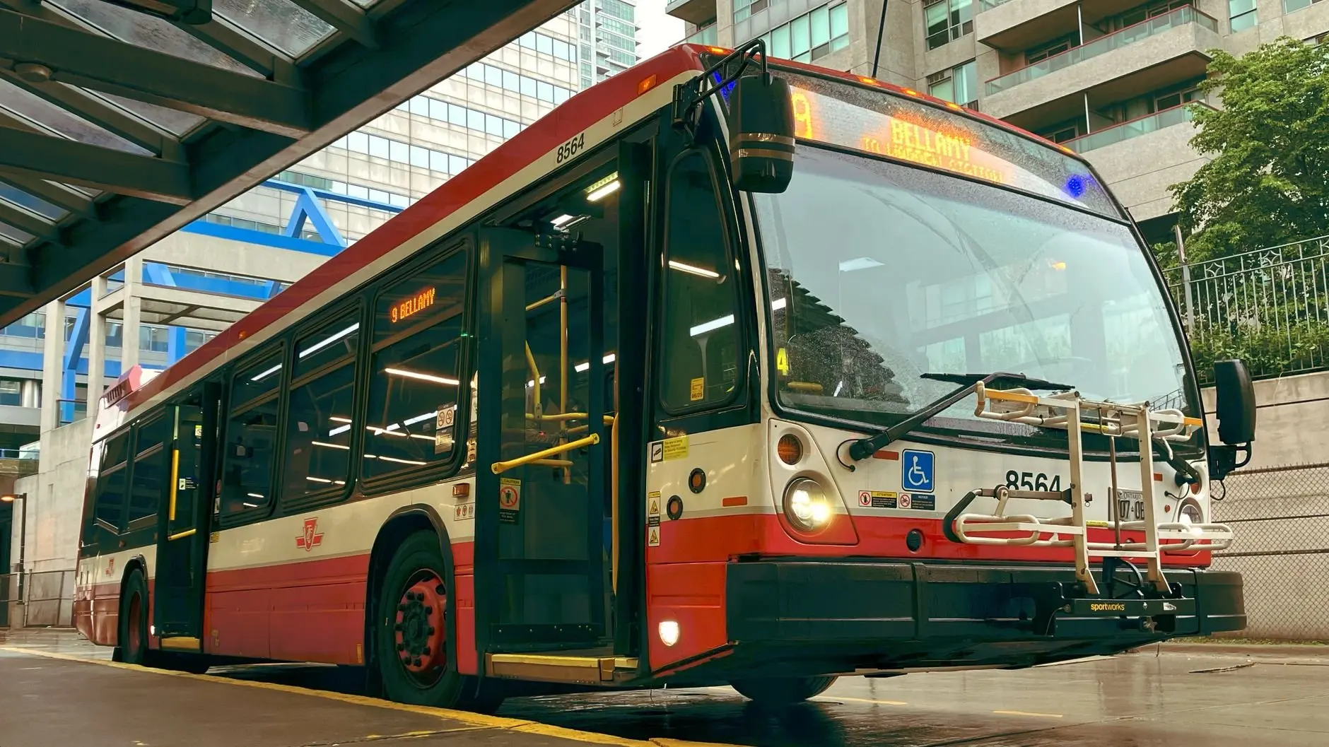
Can you take a bike on public transit?
Often yes, with conditions. San Diego’s MTS is a useful example of what to expect. Its bikes and two-wheeled scooters page states that bikes ride for free with any paying transit rider. Each bus can accommodate two bicycles in the front rack, and some newer racks hold three. On the trolley, one bicycle is allowed per car during peak travel times and two at all other times.
Those figures show why the time of day matters. A ride that works at midday can be refused at peak, and a full rack means waiting for the next vehicle. Treat the transit leg as something with a limit, not a guarantee.
Which bikes qualify
Rack rules also depend on the bike. MTS accepts traditional bicycles under 55 pounds with wheel sizes from 20 to 29 inches in diameter, with tires up to 2 3/8 inches wide. Tandem and recumbent bicycles are not accepted on bus racks. If you are renting, ask about the bike’s weight and wheel size before assuming it fits a rack. Riders interested in shared bikes should read the tandem bike rental venice beach guide, since rack rules like these shape where a tandem can go.
Transit bike policy at a glance
| Question | MTS policy | Planning use |
|---|---|---|
| Fare for the bike | Free with any paying rider | No extra ticket to budget for the bike |
| Bus rack capacity | Two bicycles; some newer racks hold three | Do not count on a space if travelling as a group |
| Trolley limit | One bicycle per car at peak times; two at other times | Travel off-peak when you can |
| Bike size and weight | Under 55 pounds; wheels 20-29 inches; up to 2 3/8 inches wide | Check a rental or cargo-style bike before the trip |
| Excluded types | Tandem and recumbent bicycles on bus racks | Pick another way to move these bikes |
| Where to park at stations | Designated areas only; never station fencing or handrails | Look for racks or lockers before you arrive |
These figures come from the MTS bikes and two-wheeled scooters policy, and they describe one agency, so confirm the rules of the operator you will actually use.
Applying this to a Los Angeles beach ride
Los Angeles rail and bus operators set their own bike rules, so treat the MTS figures as a checklist of what to look up rather than as local policy. The questions are the same everywhere: is the bike free, how many fit, what size is allowed, and are there peak-time restrictions. The guide on how to bring bike on la metro e line to santa monica applies those questions to the route most visitors consider for a beach ride.
Putting a day together
A good itinerary has a clear start, a turnaround and a way back, with stops placed where the bike can be parked sensibly. Build backward from the hardest constraint, whether that is a transit leg, a rental return or a meal, then fill in the scenery.
A simple order of decisions
- Choose the route shape: line, loop or extended coastal ride.
- Settle how the bike gets to the start, by rental, transit or car.
- Mark the places where a lane or path ends, and plan around them.
- Pick two or three stops with real bike parking nearby.
- Decide how you will return, and confirm any transit limits for that time of day.
The venice beach itinerary by bike guide turns this order into a full day plan.
Timing the ride
Timing affects crowds, light and transit. A ride that follows the sun gives you scenery at the end of the day, and it is worth checking transit limits for the return trip, since peak-time restrictions apply to some vehicles. The best time to bike venice beach guide covers the trade-offs in more detail.
Adjusting for who is riding
- Families. Keep the route short, stay on the path and choose stops with space to rest. The venice beach bike ride with kids guide covers how to adapt a route.
- Mixed-ability groups. Agree a meeting point before you start, because a busy path makes it easy to separate.
- Visitors new to the path. Read the venice beach bike path safety guide before the ride, so shared-space etiquette is not learned in the middle of a crowd.
- Riders unsure of the rules. Check the california bicycle helmet law guide before you rent or ride.
Frequently asked questions
Can you take a bike on public transit?
Often, but the rules depend on the agency. San Diego’s MTS lets bikes ride free with a paying rider and accepts them in bus racks and on trolleys within limits, so check the operator you plan to use for its own capacity, size and peak-time rules.
What is the best way to see a beach neighborhood by bike?
Use the waterfront path as the backbone and the street grid for detours. A grid provides more and shorter routes, which lets you leave a crowded stretch without losing your way.
Is a protected bike lane really better than a painted one?
For most visitors, yes. Protected lanes add physical, vertical separation from motor traffic, while unprotected lanes are described as useful mainly where travel speeds are 35 mph or less.
Can I rely on a bike rack to keep my bike safe?
Not for long stops. MTS warns that racks offer minimal security against theft or vandalism even with expensive locks, and it points to bike lockers at many transit centers and trolley stations as the safer option.