Standing on Ocean Front Walk with a bike, the question is where to ride. The venice beach boardwalk bike path is a paved concrete trail that runs separate from the pedestrian promenade, so follow that trail and obey posted signs.
This stretch is one chapter of how to see a city by bike. The sections below walk the Venice segment from the Santa Monica end, explain where the trail and the boardwalk diverge, and cover the rules and trouble spots that affect a ride.
Where the trail and Ocean Front Walk part ways
The bike trail and the boardwalk are two different surfaces. A Komoot route description of the Venice stretch calls it a perfectly paved concrete bike trail meandering through the sand, separate from the pedestrian promenade. Ocean Front Walk is that promenade. Walkers, vendors and strollers use it, and cyclists have their own ribbon of concrete beside it.
For most visitors this means one decision: ride the trail, not the promenade. Slow, mixed-use pavement makes for a poor cycling surface, and the trail exists so that fast and slow traffic do not have to share it. Treat the promenade as a place to walk your bike when you stop for food, a photo or a rental.
The trail also belongs to a much longer system. A Los Angeles family-travel guide to the Strand describes the Marvin Braude Bike Trail as almost completely separated from automobile traffic. That is good news for newer riders, with one exception covered below.
Length and endpoints near Venice
The Marvin Braude Bike Trail, often called the Strand, is far longer than the Venice stretch. The same family-travel guide says it begins in Pacific Palisades at Will Rogers State Beach and traverses over 22 miles to Torrance Beach. Its northern section runs through Pacific Palisades, Santa Monica and Venice Beach, so Venice sits in the middle of the northern half rather than at either end.
For a Venice-only ride, a distance between two named points is more useful than the full trail length. A guided Santa Monica and Venice Beach tour from The Bike Center covers approximately 7-8 miles and lists the Venice Boardwalk among its highlights. Use that as a planning benchmark for an out-and-back ride that includes both piers.
Check the northern start before planning to begin there. The family-travel guide notes that, due to the Palisades Fire, Will Rogers State Beach and its parking lots were closed. If that closure is still in place, start in Santa Monica or Venice instead.
Segment by segment through Venice
Riding from north to south gives the clearest picture of how the trail relates to the boardwalk. The guided route above covers Santa Monica Pier first, so that is the natural starting point. A full end-to-end plan is in the santa monica to venice beach bike ride guide.
Santa Monica end
On the Komoot route, Santa Monica Pier and Route 66 are marked at 8.28 km as the end of the trail section. Treat this as the northern anchor for a Venice ride. Beyond that marker the route changes character, so the Venice stretch is the piece to the south.
Venice Pier and Ocean Front Walk
Venice Pier is the main landmark where the trail and the promenade run side by side. The family-travel guide lists the Venice Beach Fishing Pier restroom as the last bathroom along the northern section of the Strand. Ocean Front Walk is the street-side promenade where Muscle Beach is found, at 1817 Ocean Front Walk.
Beach Green and the sand side
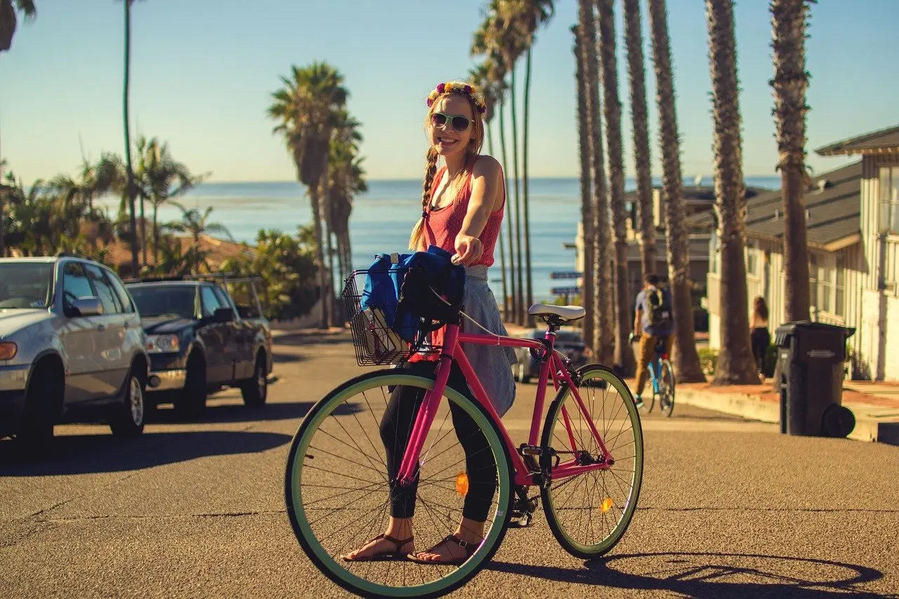
Komoot places Beach Green at 6.73 km along its route and describes it as a well-groomed grassy lawn shaded by palm trees. It sits along the promenade and bike path, which makes it a convenient place to leave the trail and rest. The trail itself keeps to the sand side, away from the walkway.
South toward Marina del Rey
The Strand is almost completely separated from traffic, with one exception. A small portion in Marina del Rey requires road crossings and is classed as Class II, as the family-travel guide explains. Riders who continue south from Venice should slow down and watch for vehicles there.
Posted rules, speed and the no-cycling stretch
Rules at the boardwalk are set by posted signs, so read them at each access point rather than assuming the same rule applies everywhere. The mapped route is built around the separate trail, which is the sensible answer to whether you can ride on the boardwalk itself. Where signs ask riders to walk or restrict bikes, follow them.

One restriction is documented on the Komoot route. It includes a segment in which cycling is not permitted, after 8.31 km for 62 m. That marker falls just beyond the Santa Monica Pier point on the same route, so expect to dismount for a short distance there and push the bike. It is brief, and the cost of ignoring it is a conflict with pedestrians.
No figure for a posted speed limit appears in the verified material, so choose your pace by the crowd rather than by a number. Slow down wherever the trail runs close to walkers, and give way at crossings. Helmet requirements for visitors are explained in this guide to the california bicycle helmet law, which is worth reading before a rental.

Quick fixes for common problems
Most trouble on this stretch comes from mixing up the trail and the promenade, or from picking a route length that does not match the day. This table matches each situation to a decision.
| Problem | What the evidence shows | Planning use |
|---|---|---|
| Unsure how far to ride | The Strand runs over 22 miles from Will Rogers State Beach to Torrance Beach | Pick a turnaround point near Venice Pier rather than committing to the whole trail. |
| Crowded promenade | The concrete bike trail is separate from the pedestrian promenade | Stay on the trail and walk the bike when you stop on Ocean Front Walk. |
| Route stops being rideable | The Komoot route flags a 62 m no-cycling segment after 8.31 km | Dismount and push through the short stretch. |
| Heading south of Venice | A small Marina del Rey section is Class II and needs road crossings | Slow down and cross with traffic awareness. |
| Starting at the north end | Will Rogers State Beach and its parking lots were closed due to the Palisades Fire | Start from Santa Monica or Venice and confirm access first. |
Figures here come from the family-travel guide to the Strand and the Komoot route description.
Stops, locking and keeping a bike safe
Plan stops before the ride, because the promenade is where riders become pedestrians. Muscle Beach, the pier and Beach Green are natural places to pause, and each means leaving the trail. Look for a rack near the access point rather than leaning a bike against a railing or wall.
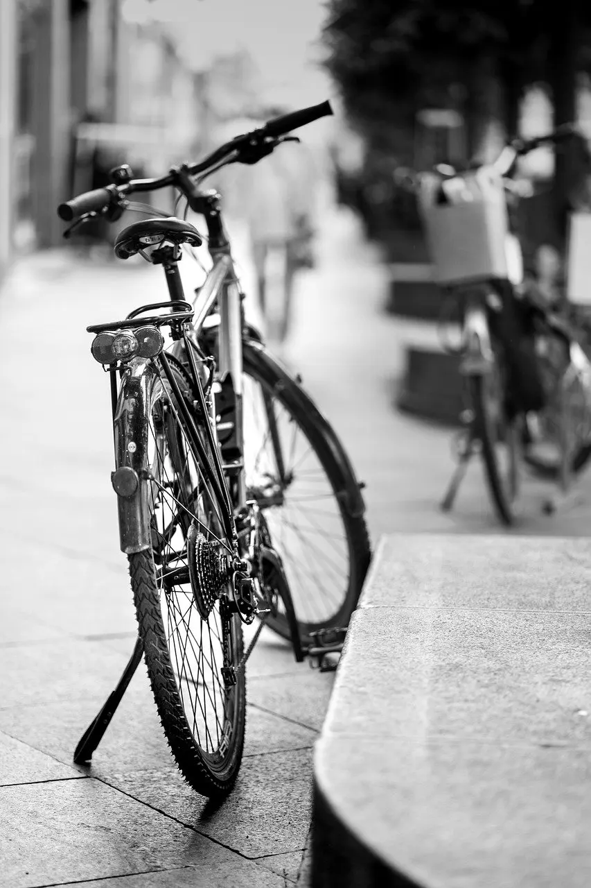
A lock that fits the frame and a wheel is the sensible minimum for any stop longer than a photo. For short pauses, keep the bike within sight and stay close. Longer breaks suit the grassy Beach Green, where you can sit and watch your bike.

Frequently asked questions
| Question | Answer |
|---|---|
| Is the whole Venice trail separated from cars? | Almost entirely. The family-travel guide describes the Strand as nearly completely separated from traffic, with a small Class II portion in Marina del Rey that requires road crossings. |
| How long does a guided Santa Monica to Venice ride take? | The Bike Center lists a tour duration of 2-3 hours for the guided ride, which covers approximately 7-8 miles. |
| Where are the restrooms along the Venice stretch? | The family-travel guide lists restrooms at the Venice Beach Playground, Brooks Avenue and Westminster Avenue, and the Venice Beach Fishing Pier restroom is the last on the northern section. |
| Is there a bike rental on Ocean Front Walk? | Venice Boardwalk Beach Rental is listed at 517 Ocean Front Walk #1, Venice, CA 90291. |